 |
Appletree Creek after recent flooding; renewed flood fence. Kozo paper imprint.
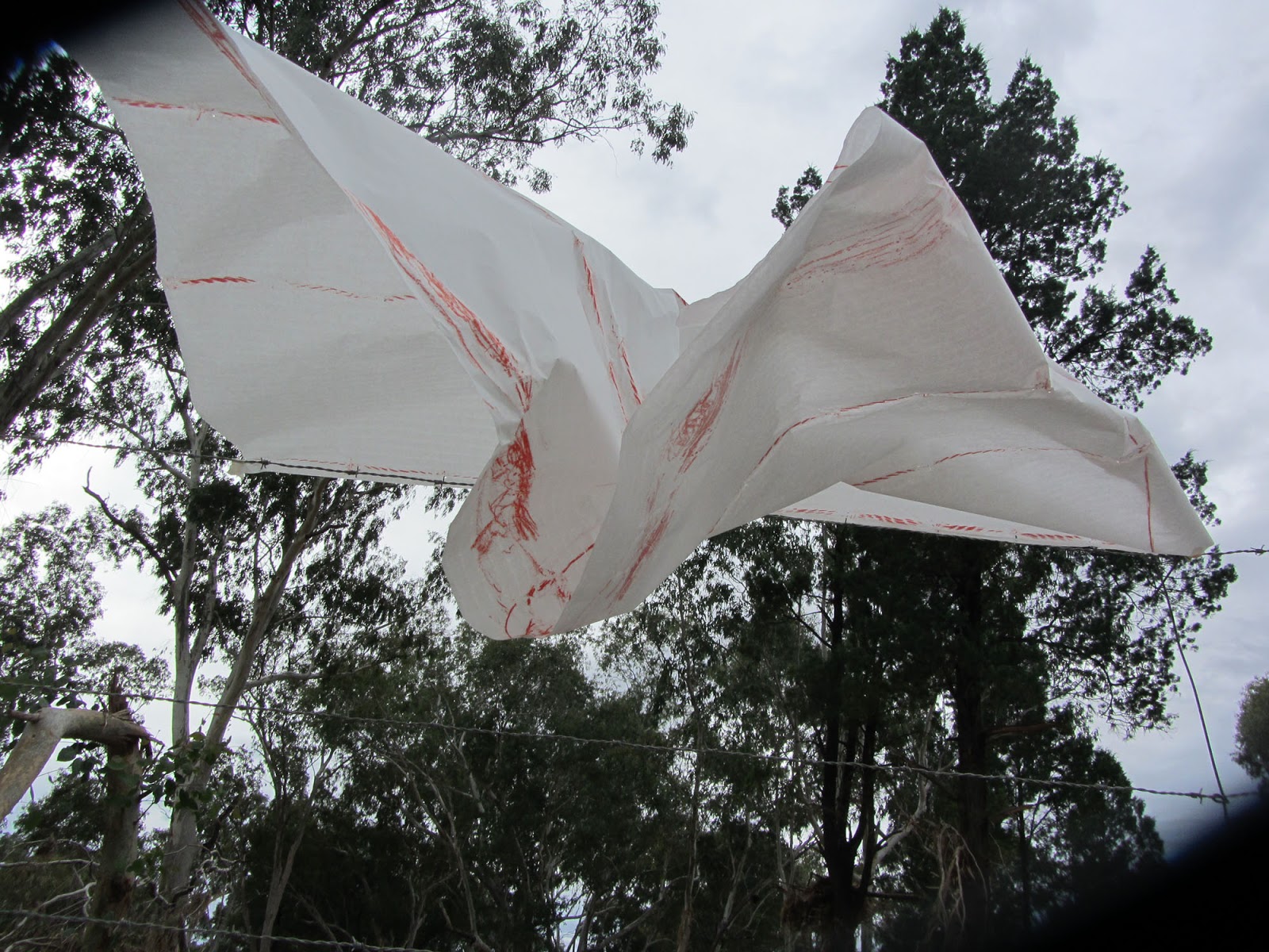
There is always a risk in drawing. For instance, this hand made paper that I bought in Japan is precariously blowing on the fence as I attempt to imprint the fence lines on it. |
 |
| Appletree creek |

I'm interested in the historical concepts of boundaries; the idea behind a point on the ground being represented as a point on a map . Re-looking at boundaries and other structures are a way to bring a critical analysis to past and present perceptions. In Australia, the Land Act of 1869 required settlers to fence their land. This act of settling, marking out a boundary, was a means of expressing presence where there is a front and a back. Unlike Western ideas of boundaries and fences being at the periphery. Alyawarra people of central Australia, invariably have boundary points as water sources. ‘Kwatye’ (water) is all around the Alyawarra people and is perceived holistically. Other groups, including the Yuwalaraay people of the central northern NSW and Southern Arrernte peoples of the Lake Eyre area, recognise the networks of watering places, as opposed to the permanent Western perception of reference points of earth and stones. Notes from Paul Carters The Road to Botany Bay 1987, Tim Bonyhady The Outside Country 2002.
 |
| Grading roads and ring lock fence |

|
| Dingo barrier fence gate Forestvale Road, Mitchell |
 |
| Camerons creek flood fence with dog netting |
 |
Collecting coloured soils for paper making
or use as pigments. |
Ring lock flood fence. Branches are tied to the base so the fence can move with flooding water and stops pastoral animals going under the fence.
The strategy of map-making in my work either incorporates a net-like grid, floating, irregular and uncertain, or layers of material without any horizon or
central point. Netting fences are often built to determine boundaries. In my work, this image also relates to contours of the terrain of the Great Artesian Basin; it’s complex layers of porous and non-porous aquifiers and aquiludes,
flowing between a grid like system.
 |
| details of works incorporating grids, netting, boundaries |


Comments
Post a Comment